
Disaster App,
Real-time disaster response coordination platform
Disaster App — Enterprise Case Study
Emergency response coordination app that connects field teams, command centers, and the public during natural disasters and crisis events.
Three numbers that
tell the story upfront.
Alert delivery to public
Emergency response coordination app that connects field teams, command centers, and the public during natural disasters …
Field app works without connectivity
Emergency response coordination app that connects field teams, command centers, and the public during natural disasters …
Citizens reached in first deployment
Emergency response coordination app that connects field teams, command centers, and the public during natural disasters …
Before we got here,
here's what wasn't working.
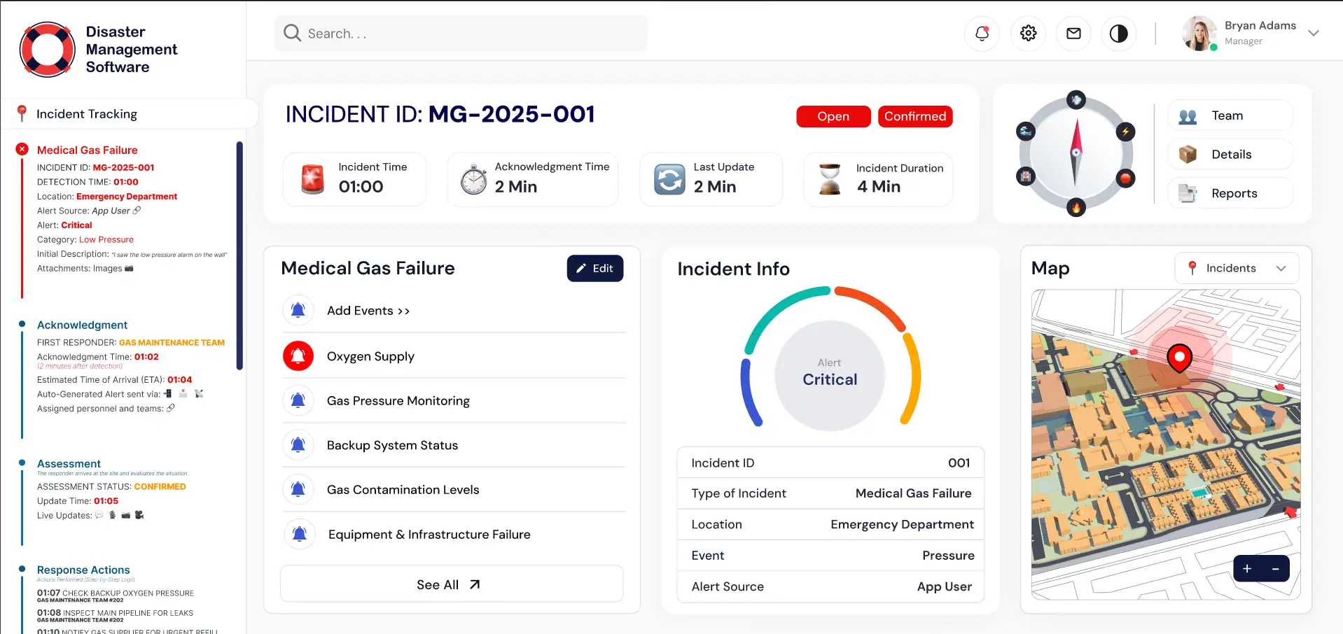
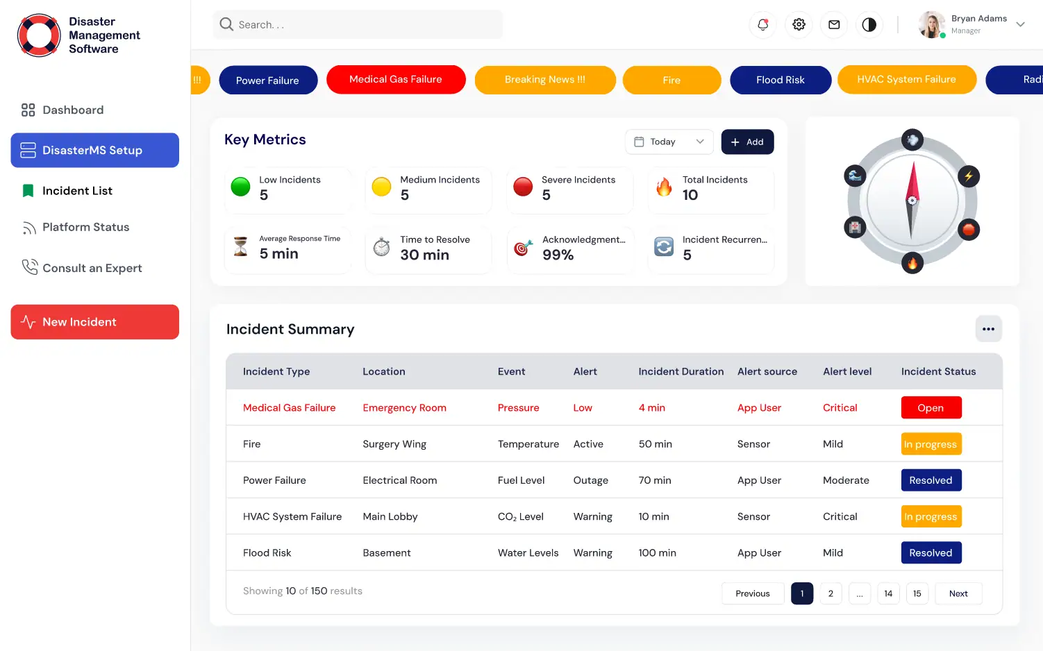
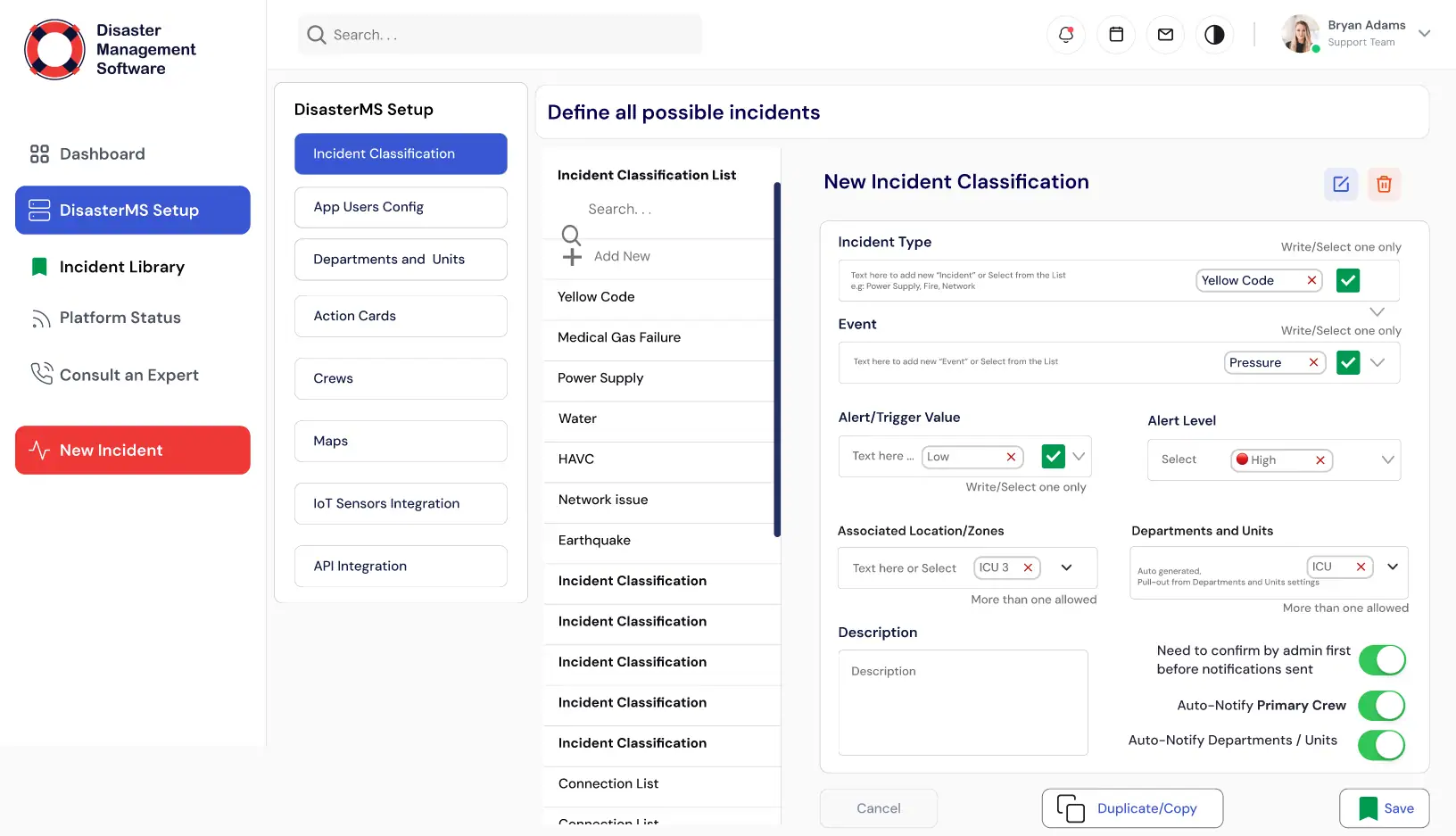
Disaster App is a crisis coordination platform used by emergency management agencies during natural disasters. Field responders report incidents from mobile devices; command centers monitor situational awareness on a live map; the public receives geo-targeted alerts.
We confirmed every challenge with the team before writing a line of production code. The right column lists the pain points we tackled head-on and how we approached each one.
What wasn't working
BEFOREField devices operating in areas with no internet connectivity
Implemented offline-first data sync using SQLite on device with background sync via service worker when connectivity is restored.
Don't over-engineer.
Solve what matters, ship fast.
The instinct on complex projects is to rebuild everything from scratch. We pushed back. A full rewrite often means months of regressions while engineering rebuilds features that were already working.
We mapped the existing workflow against actual usage. The result was clear: a small set of features accounted for the majority of user time. We rebuilt the core, shipped fast, and extended outward.
On the technical side, we made clear decisions early and held them. The right column shows what we chose, and why.
4 decisions we made early
CHOSEN / REJECTEDLive Incident Map — how we built it
Custom Live Incident Map — built for this product's exact needs and data model.
Generic SaaS tool that would require heavy workarounds and compromise the user experience.
Field Reporting App — how we built it
Custom Field Reporting App — built for this product's exact needs and data model.
Generic SaaS tool that would require heavy workarounds and compromise the user experience.
Geo-targeted Public Alerts — how we built it
Custom Geo-targeted Public Alerts — built for this product's exact needs and data model.
Generic SaaS tool that would require heavy workarounds and compromise the user experience.
Resource Management — how we built it
Custom Resource Management — built for this product's exact needs and data model.
Generic SaaS tool that would require heavy workarounds and compromise the user experience.
4 features that
define the product experience.
Every feature was scoped and shipped with the same priorities: speed, reliability, and staying out of the user's way.
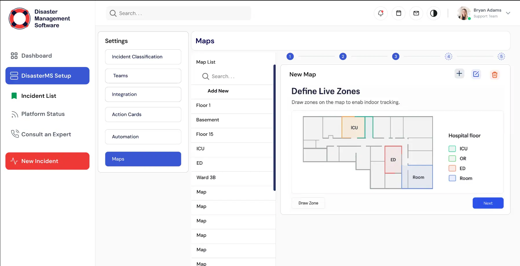
Live Incident Map
Real-time geo map showing all reported incidents, resource deployments, and affected zones.
Field Reporting App
Mobile app for field teams to submit incident reports, photos, and GPS coordinates offline-first.
Geo-targeted Public Alerts
Push notifications and SMS alerts sent only to citizens within a defined affected radius.
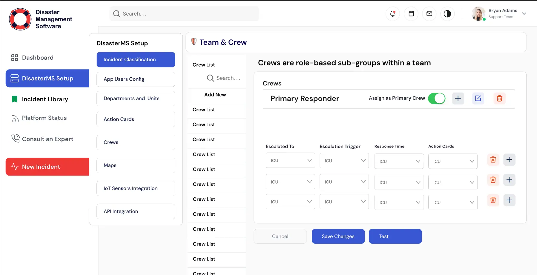
Resource Management
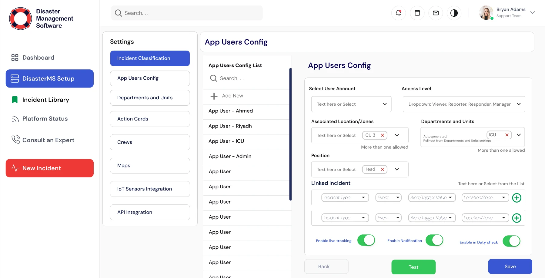
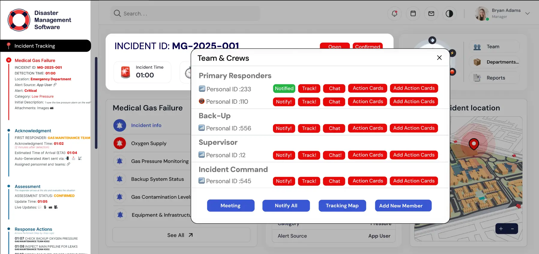
Track equipment, personnel, and supplies across multiple incident sites.
What changed,
measured against the day-one baseline.
We benchmark before we touch anything, logging every metric below against its state before we wrote a line of production code.
Related services
Want to build
something like this?
We ship fast. Talk to us about your product idea and we'll tell you exactly how we'd approach it.